Some of the most consequential environmental measurements happen in the worst conditions. Through Canopy. Heavy rain. Extreme winds.
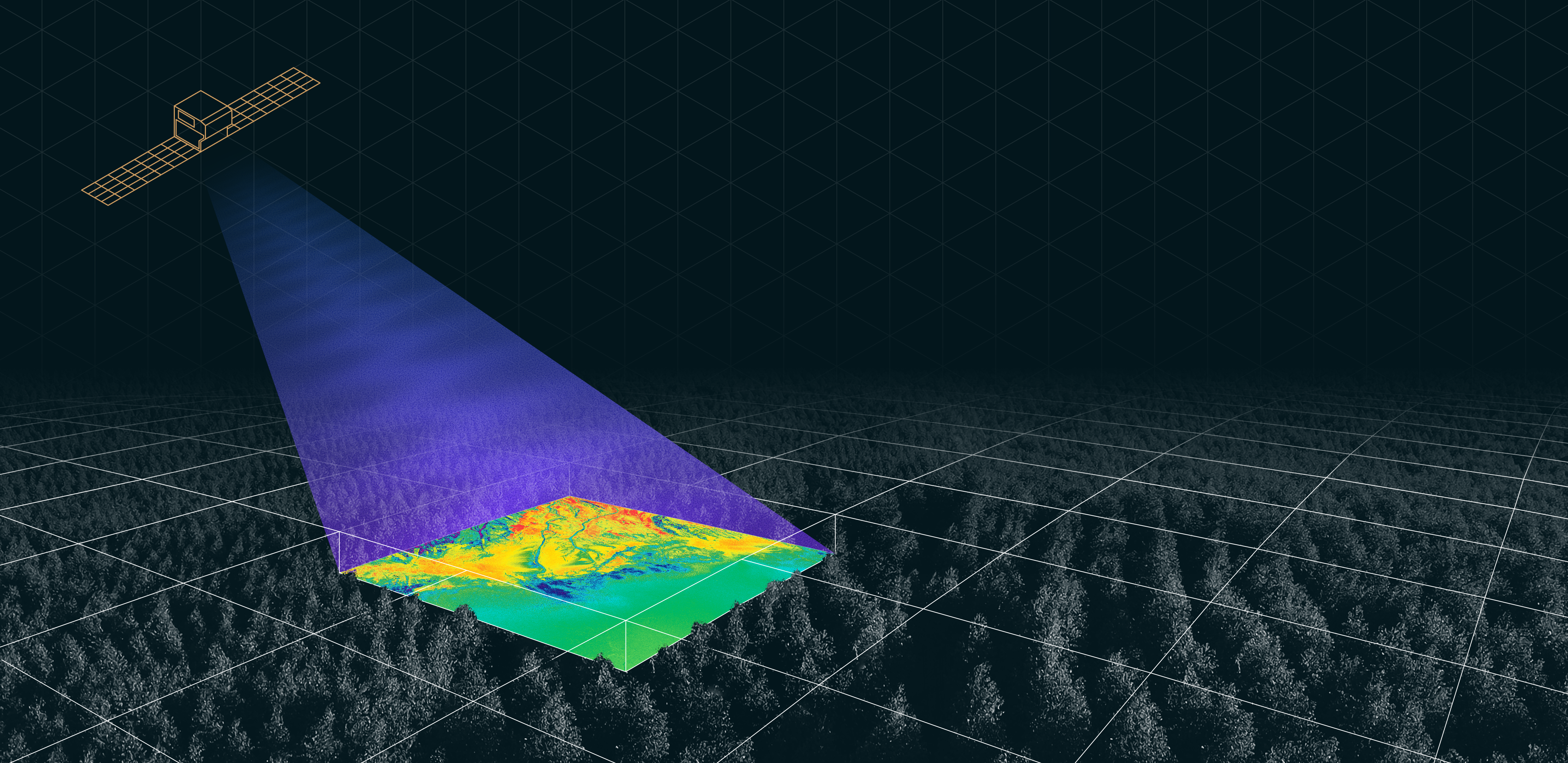
Aperture is building a software-defined, L-band radar satellite for the ones that matter most and are hardest to observe.
Contact Our Team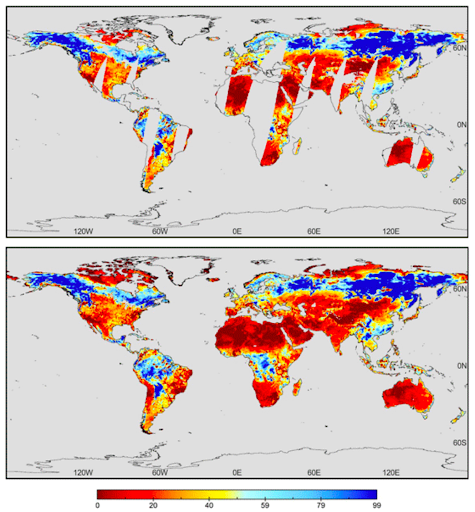
Subsurface moisture content beneath vegetation and across variable terrain.
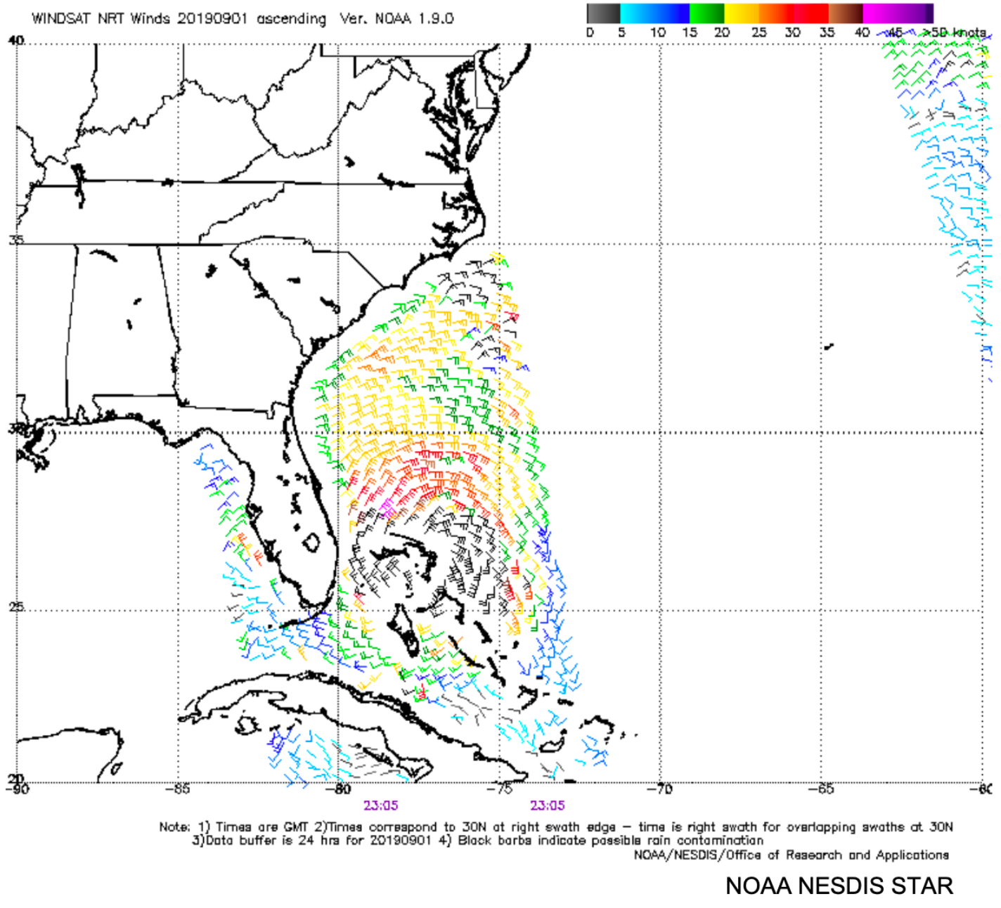
Wind speed and direction in active storms and extreme sea states.
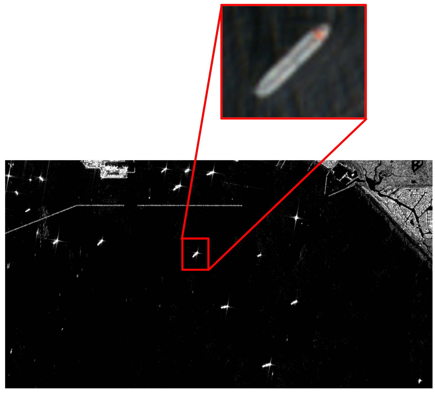
Medium-resolution surface imaging through cloud cover, smoke, and darkness.
Continuously available data through a commercial operations model.
Software-defined architecture means capabilities improve without new hardware.
Data delivered through channels and standards already in use at operational tempo.